
What it is
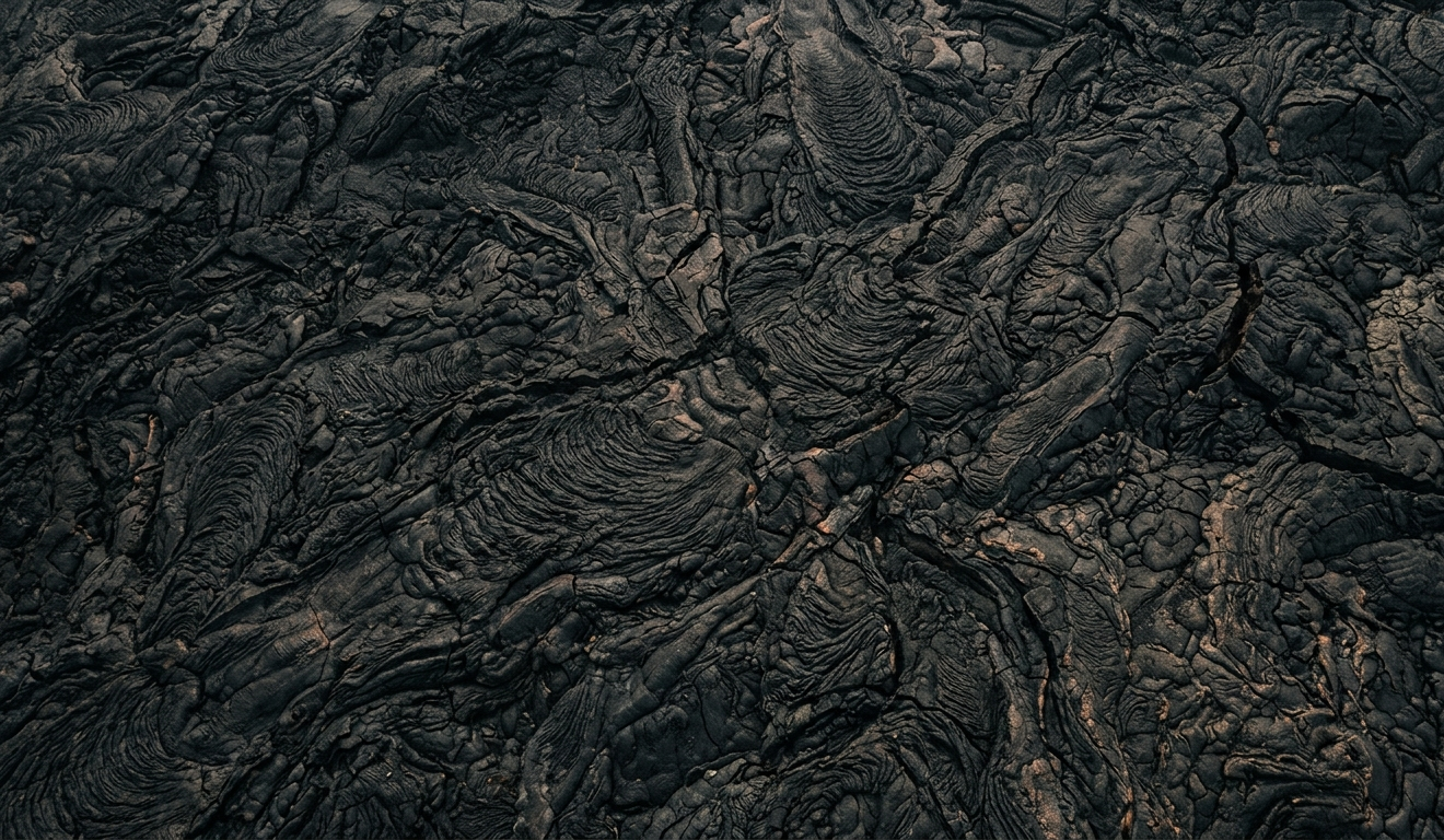
The Devastation Trail is a short, paved interpretive trail located within Hawaiʻi Volcanoes National Park on the Big Island. It offers visitors a unique opportunity to experience the starkly beautiful landscape left behind by the 1959 Kīlauea Iki eruption. The trail traverses an area that was once a lush rainforest, but was buried by volcanic cinder and ash from spectacular lava fountains that reached heights of up to 1,900 feet. Informative signage along the path explains the geological history and the resilience of nature as new plant life, such as ʻōhiʻa lehua, slowly reclaims the volcanic terrain.
Visitor experience
Travelers choose the Devastation Trail to witness firsthand the dramatic effects of volcanic activity and the slow process of ecological recovery. It provides an easy and accessible way to see cinder fields, lava formations, and the Puʻu Puaʻi cinder cone. The trail offers views of the Kīlauea Iki Crater and the surrounding volcanic landscape. Visitors may also spot native Hawaiian birds like the ʻapapane and ʻamakihi, and the threatened nēnē (Hawaiian geese). This hike is suitable for casual walkers, families, and those seeking a brief but impactful natural experience.
Logistics
The Devastation Trail is located off Crater Rim Drive within Hawaiʻi Volcanoes National Park. Access to the trail requires payment of the park entrance fee, which was $30 per vehicle as of 2024. There are two parking areas for the trail: the Devastation Trail parking lot and the Puʻu Puaʻi parking lot. The trail itself is a paved path, approximately 0.5 miles (0.8 kilometers) one way, making it about a 1-mile (1.6 kilometer) round trip. It typically takes about one hour to complete. The trail is considered easy, and it is wheelchair and stroller accessible, though some sections have grades greater than eight percent. Restrooms are not available directly at the trailhead, but can be found nearby at the Thurston Lava Tube. It is best approached as a quick stop or an activity to pair with other nearby attractions in the Volcano area.
Safety and cautions
Visitors should bring water, wear a hat, and use sunscreen as the trail is largely unshaded after the initial forested section. Weather conditions can change rapidly, so rain gear is also recommended. It is crucial to stay on the paved trail and not climb the Puʻu Puaʻi cinder cone to protect both the recovering environment and for personal safety. Volcanic gases and strong winds can sometimes lead to partial closures of the park or trails, so checking current park conditions and advisories is important before visiting. Nēnē (Hawaiian geese) frequent the area; visitors should drive cautiously, observe them from a distance, and never feed them, as this can lead to dangerous interactions with vehicles.
Editorial take
The Devastation Trail is a highly recommended stop for almost any visitor to Hawaiʻi Volcanoes National Park, especially those with limited time or mobility. Its accessibility makes it ideal for families with young children, elderly visitors, or those using wheelchairs or strollers. It offers a compelling visual narrative of volcanic impact and natural recovery in a short, easy walk.
Travelers interested in strenuous hikes or extensive wilderness experiences might find it too short and developed as a primary activity, but it serves as an excellent complement to other park explorations. It should not be confused with the more challenging Kīlauea Iki Trail, which is a longer loop that descends into the crater itself, or the Byron Ledge Trail, which also departs from this general area but is a different, often more difficult, hike.
Source notes
- Hawaiʻi Volcanoes National Park - Devastation Trail: https://www.nps.gov/havo/planyourvisit/hike_day_devastation.htm
- HawaiiActivities.com - Devastation Trail: https://www.hawaiiactivities.com/en/hawaii/big_island/oahu/things_to_do/18790
- Hiking Project - Devastation Trail Hiking Trail, Volcano, Hawaii: https://www.hikingproject.com/trail/7036495/devastation-trail
- onX - Devastation Trail: https://www.onxmaps.com/onx-backcountry/trail/devastation-trail-volcano-hawaii
- Big Island Hikes - Devastation Trail: https://www.bigislandhikes.com/devastation-trail
- Hawaiʻi Volcanoes National Park - Accessibility: https://www.nps.gov/havo/planyourvisit/accessibility.htm
