
Mauna Loa Summit Trail
Embark on an arduous, multi-day backcountry trek to the summit of Mauna Loa, the world's most massive active volcano, for unparalleled views of a stark, high-altitude volcanic landscape.
- Challenging high-altitude trek
- Requires permits and advance registration
- Access via rough 4WD roads
- Exposed, rugged lava rock terrain
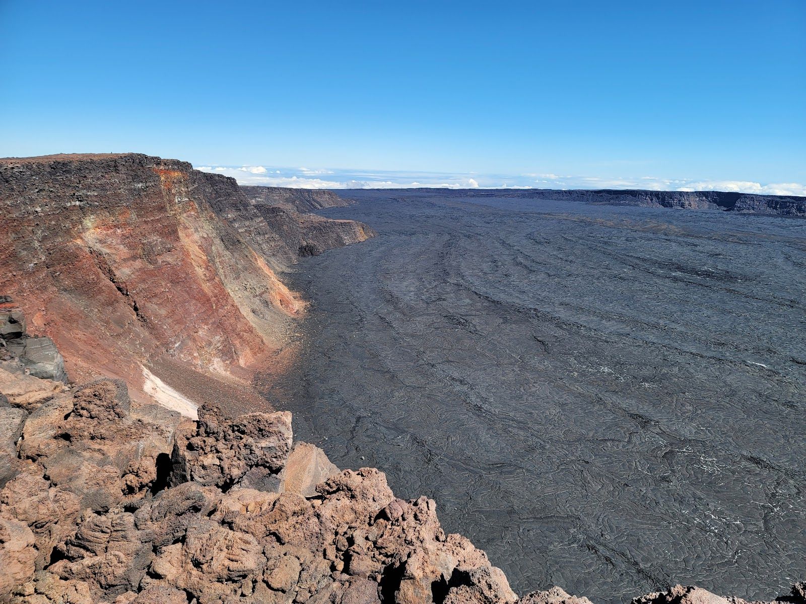
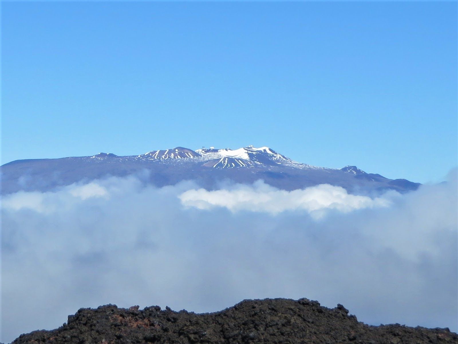
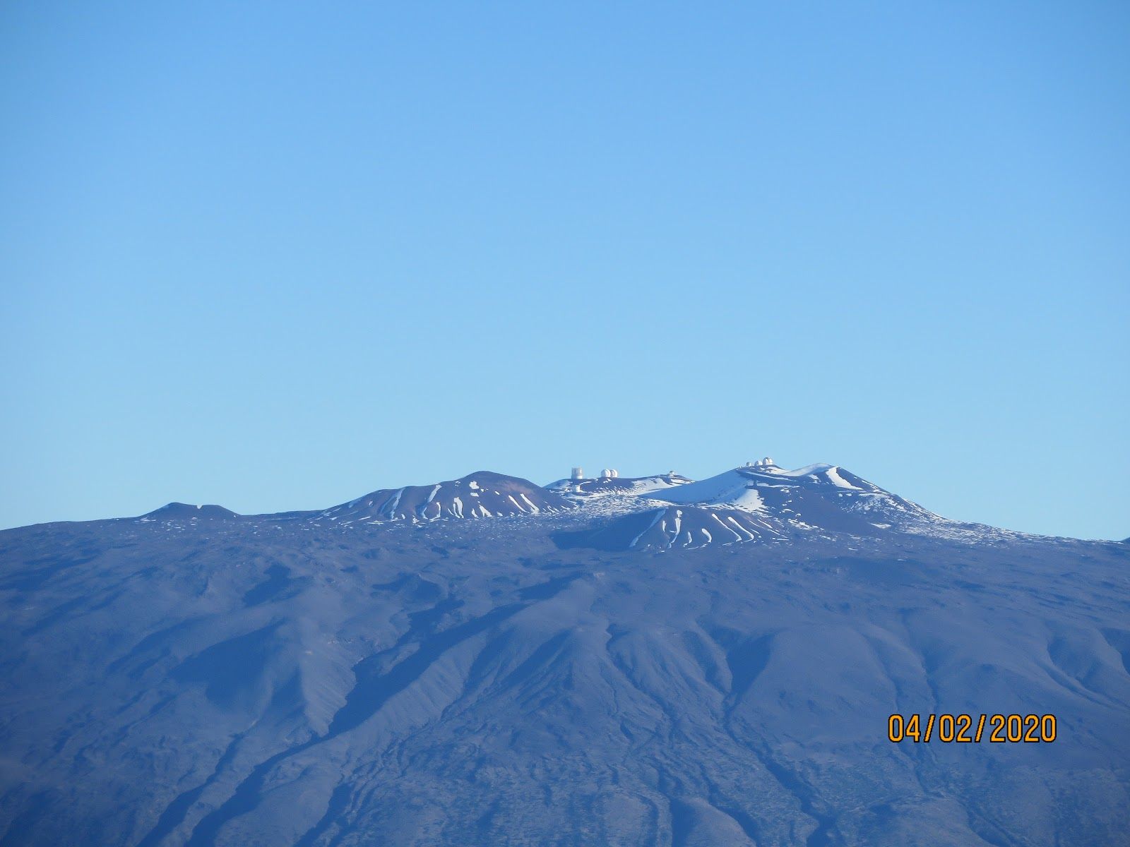
The Mauna Loa Summit Trail is one of the Big Island’s most serious hiking objectives: a high-altitude, backcountry route into the summit region of the world’s largest active volcano. It sits in the island’s Summits & Saddle country, far from casual roadside sightseeing, and stands out because it is less a “day hike” than a demanding wilderness ascent through raw lava terrain, thin air, and rapidly changing mountain weather. For experienced hikers, it offers a rare chance to move across one of Hawaiʻi’s most austere and memorable landscapes.
A route built for endurance, not convenience
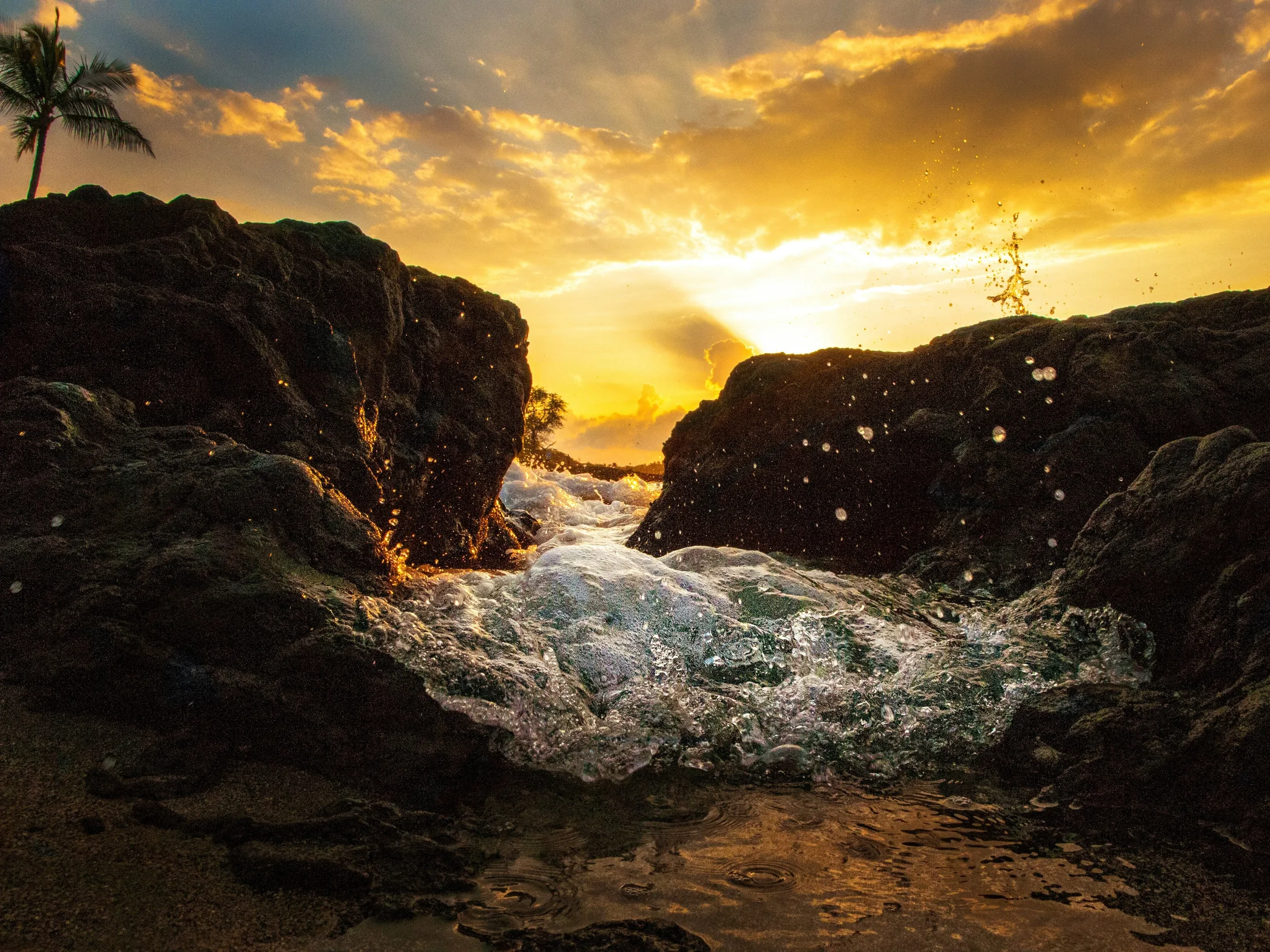
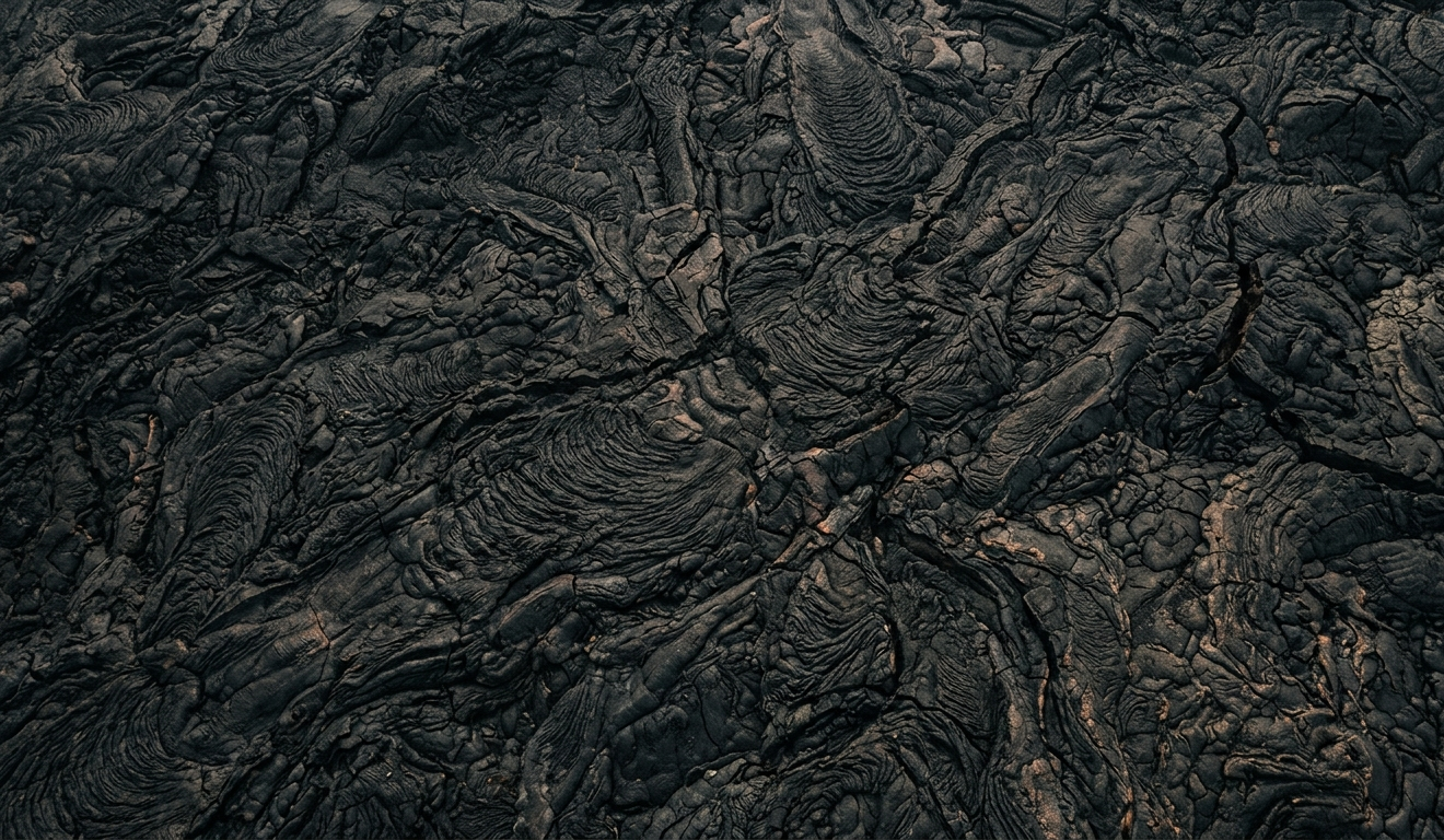
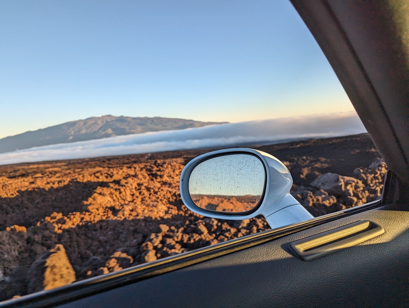
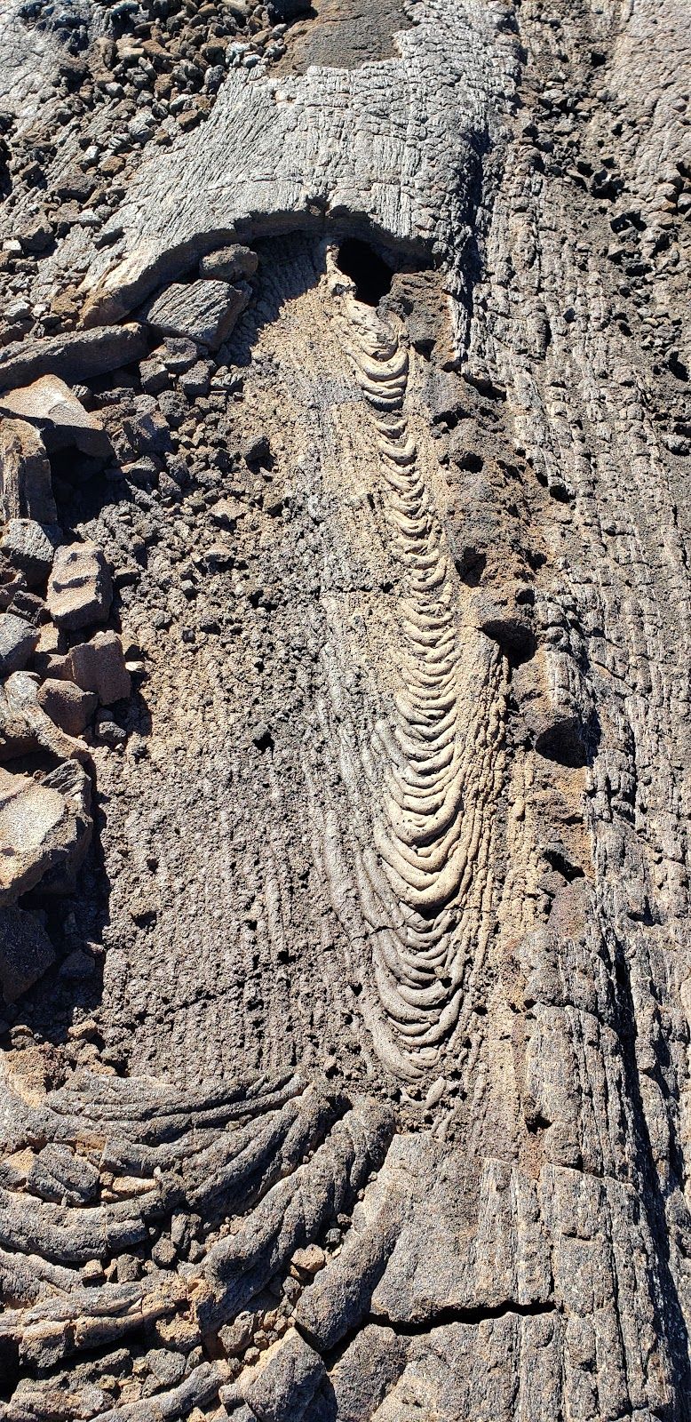
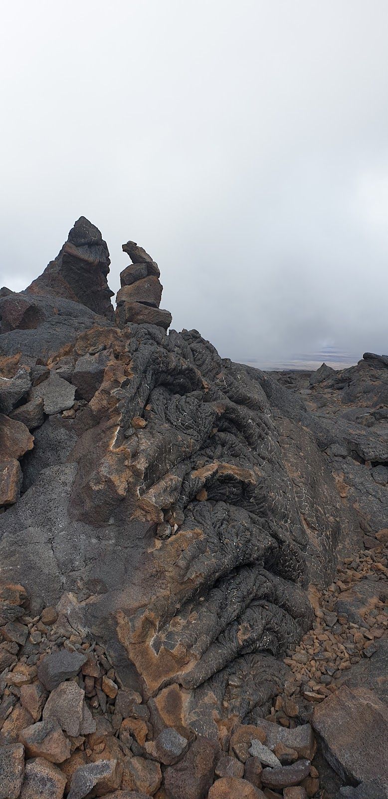
This is a hike defined by scale. The landscape shifts from higher-elevation forest into lava fields, cinder, and exposed volcanic slopes, with the great bowl of Mokuʻāweoweo at the summit as the route’s dramatic payoff. The trail can be difficult to follow because it is marked primarily by cairns, and that becomes a real issue in fog, wind, or low light. Underfoot, expect loose, jagged lava rock and long stretches with no shade at all.
The big tradeoff is that the route is as unforgiving as it is striking. Altitude, exposure, and uneven terrain combine to make this one of the hardest hikes on the island. This is not a trail to approach casually, even for fit travelers. Self-sufficiency matters here: food, water, layers, navigation tools, and a conservative turnaround plan are essential.
Access, permits, and the reality of getting there
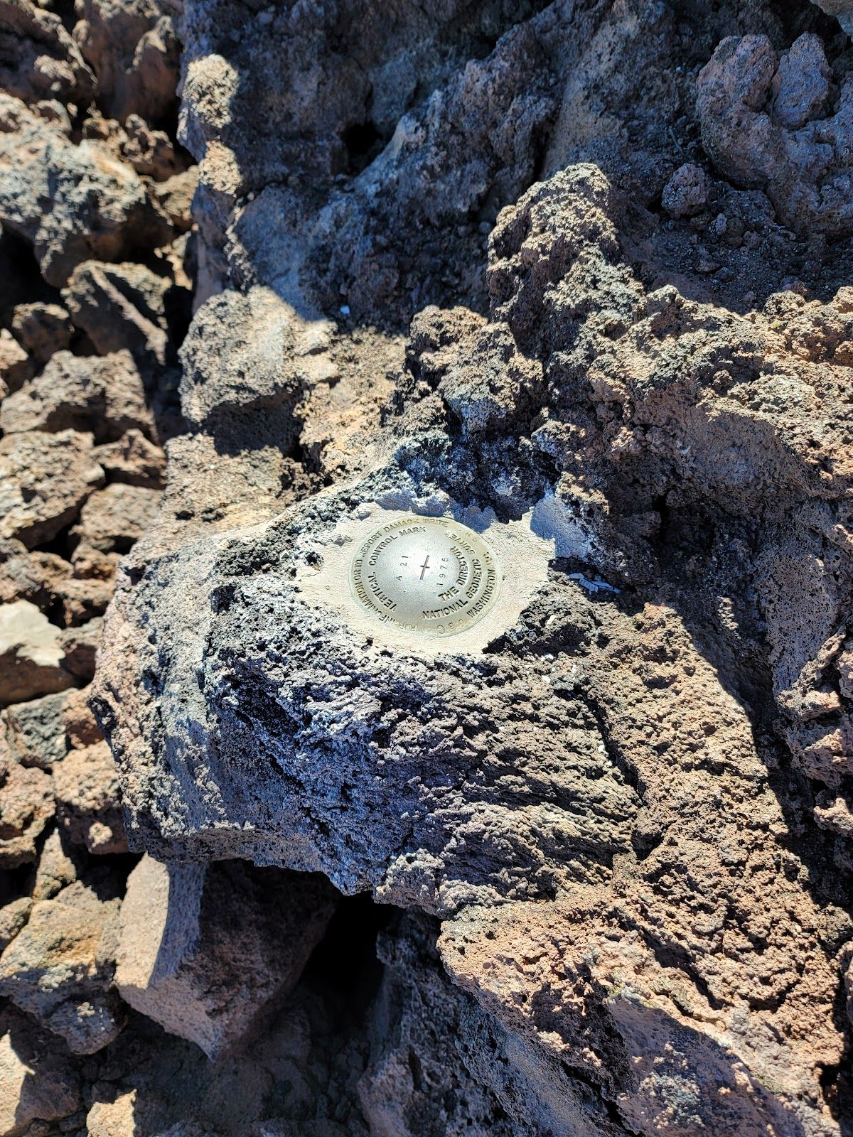
Access to the summit has been limited, and current permitted access follows the ʻĀinapō Trail. That means planning around gate access, backcountry registration, and the logistics of reaching the trailhead via rough 4WD road through Kapāpala land. The route is remote enough that the “trip” includes the approach as much as the hike itself.
This is also the kind of hike where reservations and permits are not a formality. Hikers planning an overnight stay need to sort out cabin use in advance, and anyone heading all the way to the summit should confirm current access and conditions before leaving town. Because the mountain is active volcano terrain, closures and route changes can happen. The smartest itinerary builds in flexibility rather than treating this as a fixed, can’t-miss schedule.
Why it works as an itinerary block
Mauna Loa Summit Trail fits best as a dedicated anchor in a Big Island trip, not as a side excursion. A day hike, when conditions and access align, can absorb much of a day and still feel ambitious. An overnight or multi-day trek turns it into a full backcountry commitment. Either way, it pairs best with travelers who are already comfortable with long, strenuous outings and who are content to let the mountain set the pace.
It also fills a very specific niche in a Big Island itinerary. Where some volcano experiences are about lookouts, short walks, or drive-up vistas, this trail is about immersion: silence, distance, lava, and elevation. That makes it a strong choice for hikers who want something more demanding and more remote than the island’s more accessible volcanic stops.
Best fit, and when to choose something else
The Mauna Loa Summit Trail is best for highly experienced hikers, especially those who are comfortable with altitude, exposed terrain, and multi-hour or multi-day efforts without services. It also rewards travelers who value solitude and wildness over convenience.
It is a poor match for anyone short on time, uneasy with rough navigation, prone to altitude issues, or looking for a straightforward summit outing. Travelers wanting a lighter volcanic experience will usually be happier with shorter volcano-area trails, scenic drives, or lower-stress overlooks. Here, the reward is real, but so is the demand.