

Hāmākua Coast
A green, cliff-lined windward drive of valleys, overlooks, and small-town Hawaiʻi.
The Hāmākua Coast is a lush northeast corridor between Hilo and the Kohala side, best experienced as a slow scenic drive rather than a single hub. Expect rain-polished pastureland, gulches dropping to the sea, and frequent pull-offs for views. Honokaʻa and Laupāhoehoe add local texture, while Waipiʻo Valley Lookout is the signature stop.
Best For
- Scenic coastal drives
- Moody windward landscapes
- Small-town wandering
- Photography from overlooks
- Quiet rural atmosphere
Trade-offs
- Dispersed, drive-dependent
- Changeable wet weather
- Limited services between towns
- Few true beaches
Logistics & Getting Around
Plan on a linear, stop-and-go day with snacks and fuel handled in larger towns. Roads are generally straightforward but the coastline is steep and viewpoints can be exposed to wind and rain; allow extra time for slow driving and quick
Areas in Hāmākua Coast
Signature Experiences in Hāmākua Coast
A coast you experience in pieces
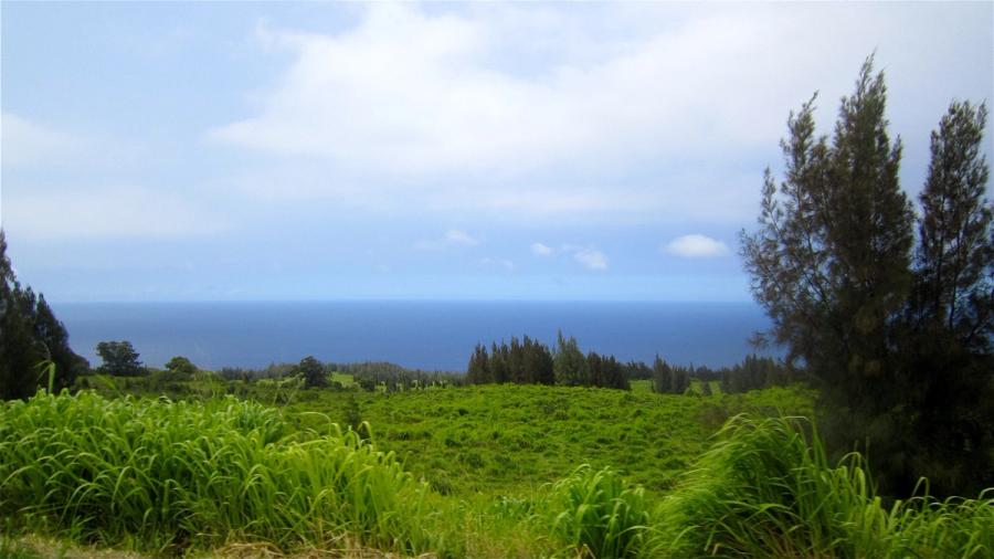
The Hāmākua Coast doesn’t behave like a single destination; it’s a sequence of green scenes strung along the windward edge of Hawaiʻi Island. North of Hilo, the landscape turns into a patchwork of pasture and old plantation-era towns, with deep gulches cutting toward the ocean and sea cliffs that make the coastline feel both dramatic and slightly out of reach. This side of the island is wetter and cooler than Kona, and that’s the point: cloud shadow and sunbreaks sweep across the slopes, everything looks freshly rinsed, and the scenery changes every few minutes.
Most people travel it as part of a longer loop—either heading toward Kohala or returning to Hilo—pausing when something catches the eye. That rhythm matters. Instead of one big “must-do” list, the Hāmākua Coast rewards a patient pace: short stops, a few longer looks, then back on the road.
What it feels like on the ground
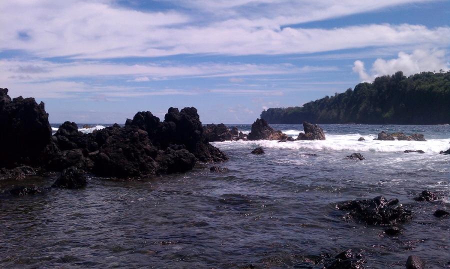
Driving here is about edges: the edge of the island where land drops away, and the edge of weather systems moving in from the sea. Views are often wide and cinematic, but access to the shoreline itself can be limited by steep terrain. You’ll see working ranchland and thick vegetation side by side; it’s a lived-in, agricultural coastline, not a resort strip.
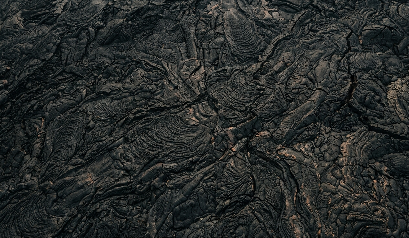
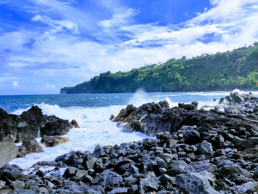
Honokaʻa is the kind of town many visitors remember—compact, historic, and good for a break from the car. Laupāhoehoe, smaller and more ocean-adjacent, conveys the coast’s mix of beauty and exposure, where swell, wind, and rugged lava shoreline set the mood.
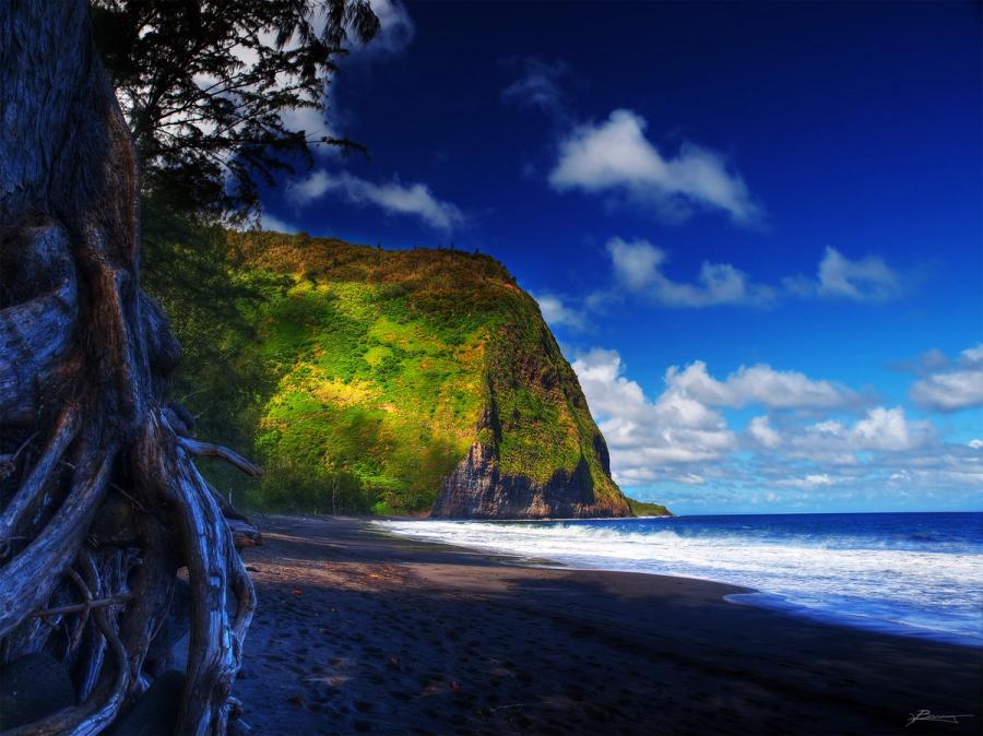
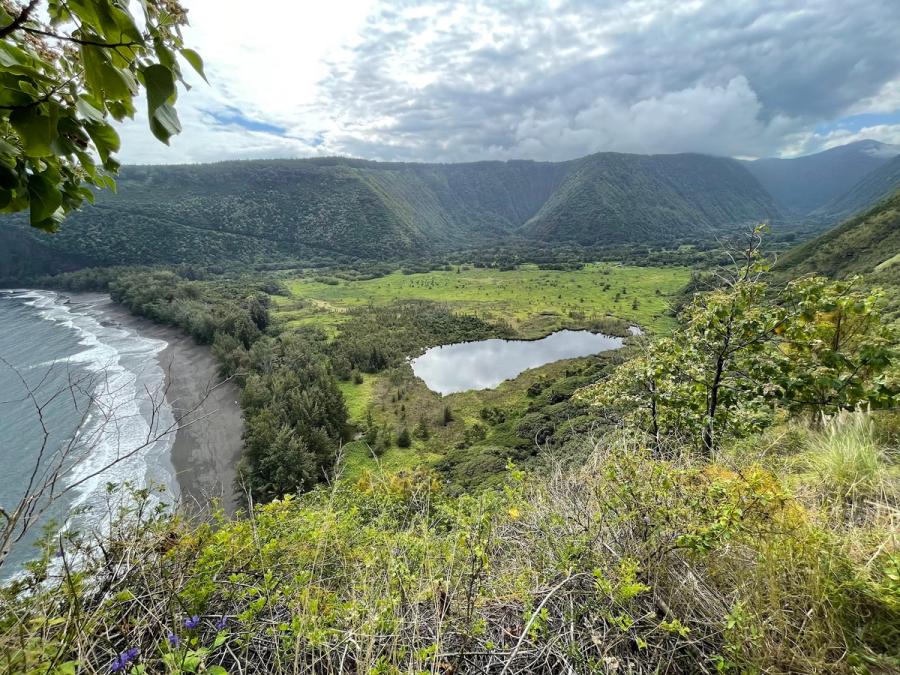
The anchor stop: Waipiʻo Valley Lookout
If there’s one defining moment on the Hāmākua Coast, it’s the view into Waipiʻo Valley from the lookout. The scene is classic Big Island scale: a steep-walled valley opening to black-sand shoreline, streaked with waterfalls when conditions line up, and framed by cliffs that make you feel the island’s verticality. For many travelers, this overlook is the primary reason to come this way at all.
How to plan the day
Think of the Hāmākua Coast as a scenic corridor with limited “stacked” attractions. Weather can flip quickly, so build in flexibility: if the views sock in, linger in town; if the clouds lift, take advantage of the overlooks. It’s possible to find quiet rural lodging in the broader area, but most visitors treat Hāmākua as a beautiful passage—an unhurried stretch of road that adds texture between bigger bases like Hilo and the leeward side.


Can't decide where to stay? Get personalized advice.
Custom recommendations built from the web's most comprehensive Kauai guide.