

A closed trail on Hawaiʻi Island can feel like a ruined day because the island is big, the drives are long, and the best walks sit in restless places: active volcano, rainforest, high-elevation road, lava field, rain-cut valley. But this island is better at Plan B than most. A volcano hike can become a crater overlook, lava tube, or coastal lava drive. A soggy Hilo trail can become a waterfall-and-garden day. A valley descent can turn into one of the island’s better scenic loops.
The trick is not to replace the hike with “the same thing, but open.” Choose the best nearby version of the day the island is actually giving you.
Before you pivot, confirm what is closed. In Hawaiʻi Volcanoes National Park, check park alerts or ask at a visitor center. For state parks and managed trails, look to DLNR State Parks and Nā Ala Hele. For roads, especially valley roads and high-elevation routes, check county updates or ask locally before committing to a long drive.
Then make one clean decision: stay in the district, or change the shape of the day.
If your Hawaiʻi Volcanoes hike is closed
Volcano is the easiest place on the island to salvage well because it has layers: crater views, rainforest, steam vents, lava fields, petroglyphs, coastal road scenery, and ranger information in one broad area. If Kīlauea Iki, Mauna Loa, or a backcountry route is off the table, do not waste the morning trying to force an equivalent. Go shorter and sharper.
Nāhuku, often called Thurston Lava Tube, is the obvious first swap when you still want a walk that feels distinctly volcanic. The approach moves through native rainforest before dropping into a lava tube formed by flowing lava. It is brief, memorable, and more specific to this island than many longer trails.
Sulphur Banks and the nearby steam vent areas give you active geology without a big commitment: mineral color, warm vapor, and the useful reminder that Kīlauea is not a scenic fossil. It is alive.
Devastation Trail is another strong fallback. The paved route crosses land reshaped by the 1959 Kīlauea Iki eruption, where the contrast between blasted lava terrain and returning life does the interpretive work for you.
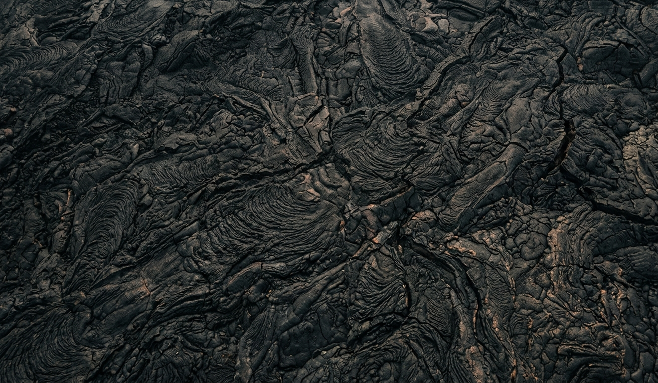
If trails are limited but roads are open, Chain of Craters Road can carry the day. It drops from the summit area through lava flows toward the coast, trading a footpath for scale: miles of dark rock, shifting light, and the blunt evidence that eruptions redraw maps.
Volcano can be cool, wet, and foggy even when Kona is bright. If crater views vanish, pause before abandoning the area. Clouds move fast here, and a misty lava field is not a failed view so much as a different mood.
If Hilo or Hāmākua is too wet for your trail
East Hawaiʻi is lush because it earns the rain. When that rain turns a forest trail into a mud exercise, stop pretending the day needs to be a hike. Let it become a water, garden, and short-walk day.
The Pepeʻekeo and Onomea Scenic Drive is the best first pivot north of Hilo. It slips off the main highway into thick greenery, with glimpses toward Onomea Bay and the kind of overgrown drama that looks better in damp weather. The Hawaiʻi Tropical Bioreserve & Garden fits the same mood: palms, orchids, streams, ocean-facing ravines, and enough structure that you still feel outdoors without gambling the day on trail conditions.
Farther up the coast, ʻAkaka Falls State Park is a classic wet-side backup because the main event is a short loop to a tall waterfall. Nearby Kahuna Falls belongs to the same rain-fed corridor. If the wild trail you wanted is slick, choose the waterfall walk built for casual visitors.
Closer to Hilo, reset around Liliʻuokalani Gardens, Coconut Island, and the bayfront. Add the Pacific Tsunami Museum or a slow downtown lunch and the day stops feeling like a canceled hike. It becomes an East Hawaiʻi day, which is its own category.
If your Kona-side hike is closed
Kona Plan B decisions are usually about contrast. If a mauka hike—uphill, inland, or higher elevation—is closed, cloudy, or unappealing, the coast may still be giving you the better day.
For a cultural and coastal pivot, Puʻuhonua o Hōnaunau National Historical Park is one of the island’s strongest choices. It is not a consolation prize. The puʻuhonua, or place of refuge, sits within a sacred and chiefly landscape of stonework, reconstructed structures, lava shoreline, and calm enclosure. It asks for a slower pace than a trail and rewards it.
Nearby Hōnaunau Bay, often called Two Step by visitors, is a well-known snorkeling area when the ocean is right. Farther north, Kealakekua Bay is another major coastal destination, though it deserves more planning than a rushed detour.
Coffee country is the other excellent Kona fallback. If the trail above town fails you, a farm visit in the Kona belt keeps you in the same broad landscape: mauka slopes, afternoon cloud, agricultural history, and the smell of roasted coffee instead of damp boots.
If a North Kohala or Waipiʻo valley plan changes
North Hawaiʻi rewards flexible travelers and punishes rigid ones. Roads are steep, weather moves quickly, parking can be limited, and access rules change. If your dream version of the day required descending into a valley, have a second version that never leaves the lookout.
At Pololū Valley, the overlook itself is worthwhile. The view down into the valley and along the coast gives you the shape of the place even if the trail is muddy, crowded, closed, or simply wrong for your group that day.
At Waipiʻo Valley, many visitors will experience the valley from above, and that can still be meaningful. The name is often translated as “curved water,” and the valley carries deep history in Hawaiian life. Do not build the day around descent unless you have confirmed access.
The better North Hawaiʻi pivot is a drive with stops. Kohala Mountain Road, Highway 250, runs between Waimea and North Kohala through ranch country, pasture, forest, and big-sky views. Pair it with Kapaʻau, the King Kamehameha statue, and, if you are near the coast, Puʻukoholā Heiau National Historic Site by Kawaihae. That route gives the day a spine without depending on one steep trail.
If Mauna Kea or Mauna Loa access changes
High-elevation plans are different from ordinary hikes. Mauna Kea and Mauna Loa involve altitude, exposed roads, fast-changing weather, and access rules that can change the whole day. If the mountain says no, believe the mountain and decide whether you still want elevation or whether the better move is down to Waimea, Kona, Hilo, or Volcano.
For Mauna Kea, the Onizuka Center for International Astronomy Visitor Information Station area can be a partial pivot when accessible, giving you a taste of the mountain environment without committing to the upper road.
For Mauna Loa plans inside Hawaiʻi Volcanoes National Park, fold back into the main park rather than chasing another remote objective. A crater overlook, Nāhuku, Devastation Trail, or Chain of Craters Road will usually beat hours spent trying to manufacture a replacement summit day.
Hawaiʻi Island’s microclimates are real, but they are not a license to spend your vacation behind a windshield. Hilo can be wet while Kona is dry. Volcano can be socked in while the Kohala Coast is bright. Kaʻū can feel open and windswept when the east side is dripping. Still, a cross-island pivot only makes sense if the payoff is worth the drive.
If you are already in Volcano, stay there unless the whole area is affected. If you are in Hilo or Hāmākua, lean into water and greenery. If you are in Kona, look makai. If you are in North Kohala or Waimea, trade the valley descent for overlooks, ranch roads, and small towns.
The best Plan B on Hawaiʻi Island is rarely a lesser version of the original plan. It is the island offering a different chapter: lava instead of forest, gardens instead of mud, a puʻuhonua instead of a summit, ranch road instead of valley trail. Let the closed gate make the edit. Then go have the day that remains.

Further Reading
A few relevant next steps from Alakai Aloha.
 BlogRainy Day Family Fun on the Big Island
A practical guide to Big Island rainy-day plans, from Hilo museums and covered farm stops to low-key Kona, Kohala, Volcano, and Waimea ideas.
Editor's pick BlogA Smarter Rainy-Day Plan for the Big Island
Learn how to pivot your Big Island plans when rain rolls in, from Kona and Hilo to Volcano, Waimea, and the Kohala Coast.
Editor's pick GuideBest Hikes & Outdoor Adventures on Hawaii Island
A guide to best Big Island hikes.
Editor's pick BlogHow Hawaiʻi Island Weather Really Works
Learn how trade winds, Kona winds, elevation, and microclimates shape rain, sun, clouds, and wind across Hawaiʻi Island.
Editor's pick